User Interface
![]()
Here are descriptions of some of the more interesting or significant changes made to HALE for the 2.5.0.M2 milestone release. The described features are new since the 2.5.0.M1 milestone release.
User Interface |
|
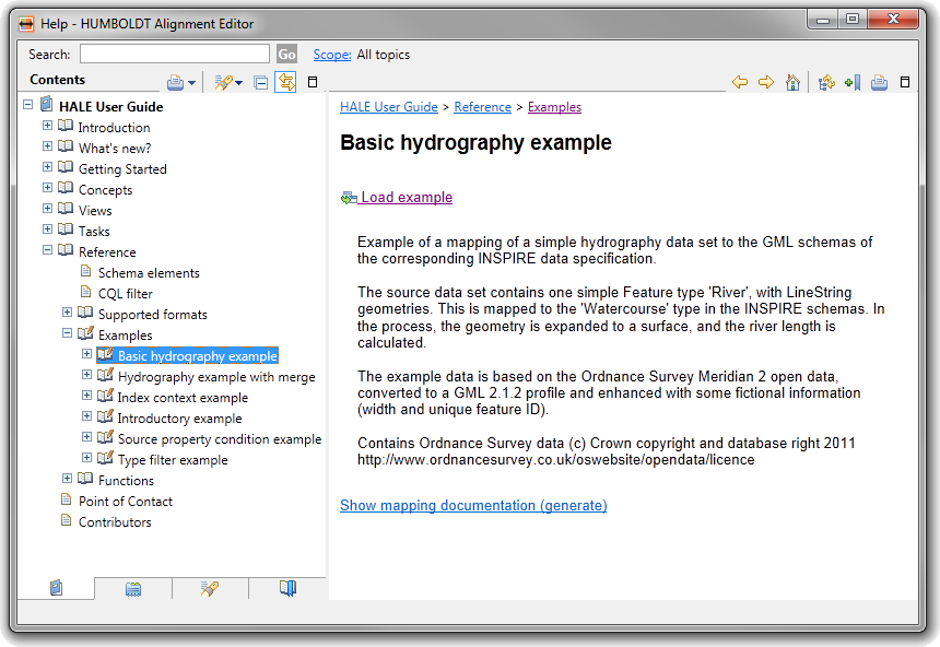
| Integrated example projects | Example projects can now be integrated and
shipped with HALE. For now it comes with some simple examples to
explain basic functionalities and two examples based on a
geographic data set from Ordnance Survey - one with a Retype, the
other with a Merge type relation.
|
| Enable/disable live transformation | The transformation of the source data you
loaded into HALE is triggered on every change to the mapping.
Sometimes this may hinder your workflow, especially when you are
dealing with a big data set. Now you can enable or disable the
transformation at your convenience.
|
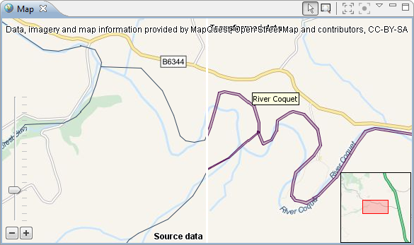
| Map tooltips | Quickly identify instances in the map
through the tooltip when hovering over it. Press c
to copy the tooltip content to the clipboard.
|
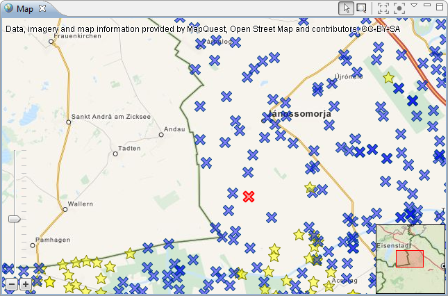
| Support styling of point geometries | The geometry renderer in the new map view
so far missed the capability to render custom styles for point
geometries. Now you can use the SLD editor to assign different
markers, graphics or your custom SLD to your point objects.
|
Under the Hood |
|
| Improved geometry support for reading XML/GML | Many more GML geometry types are now supported when reading XML files. Please have a look at the XML Data Import for a detailed listing. |
| Undo/redo support also for contexts | Creating or removing a context on a schema element can now be undone. |